
Updated maps under review for Luckiamute River Watershed
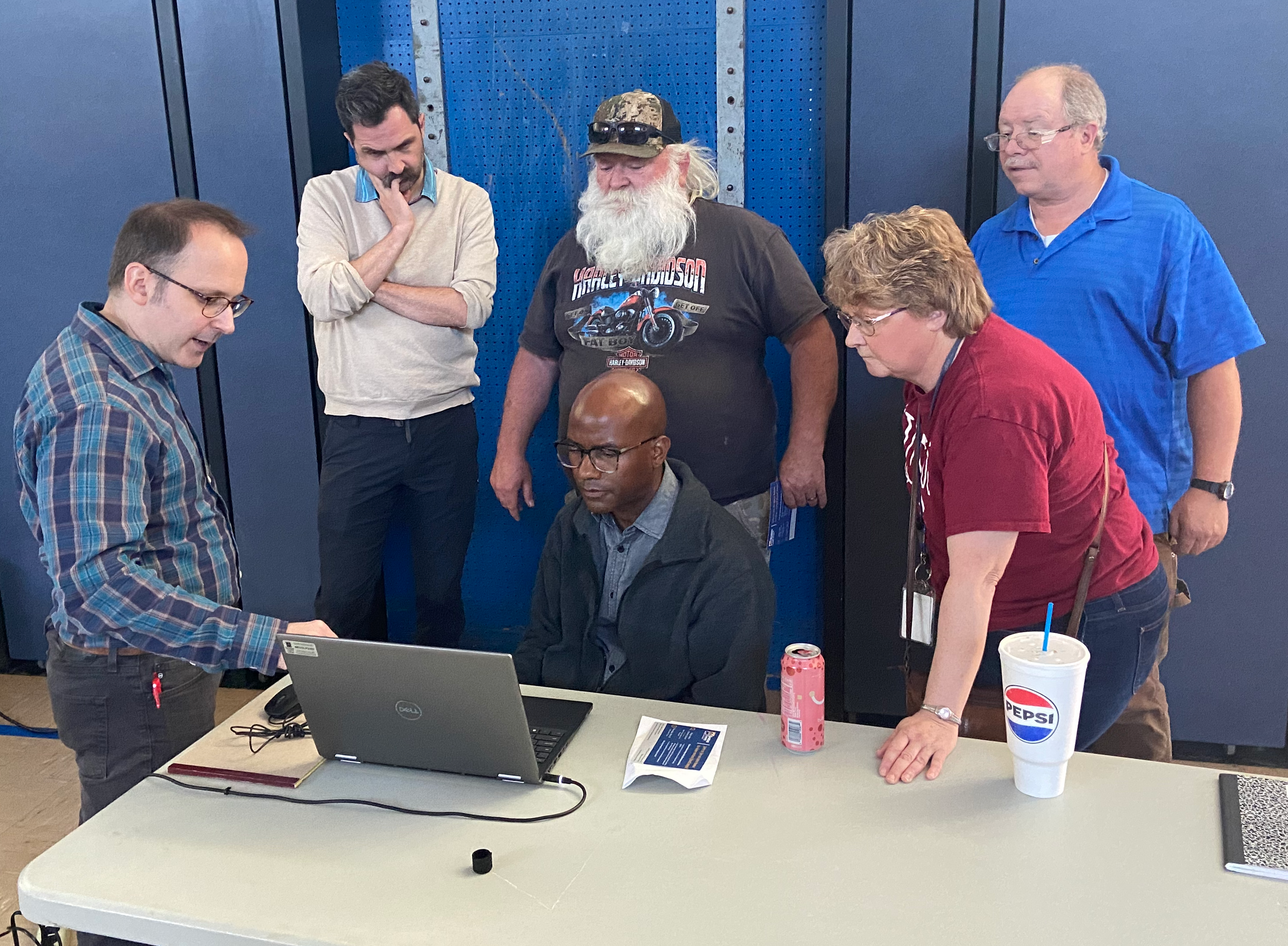
Kings Valley residents recently had their first opportunity to view the proposed updated flood hazard maps for the Luckiamute River Watershed as Benton County hosted an open house May 30 at the Kings Valley Charter School. Residents were able to look over the tentative maps and have questions answered by representatives from the U.S. Army Corps of Engineers and FEMA, as well as Benton County Floodplain Administrator and Senior Planner Toby Lewis and County Commissioner Pat Malone.
In 2021, Benton County requested floodplain mapping assistance from the U.S. Army Corps of Engineers for the Luckiamute Watershed Special Flood Hazard Area, including the approximately 11.7-mile section of the Luckiamute River in Benton County. The Corps of Engineers project comprised a field survey of the Luckiamute River, a hydrologic analysis to understand how much water flows into the river, computing a water surface profile, and mapping of flood hazard areas for the 100-year flood, 500-year flood and the floodway. FEMA’s Risk MAP Division contributed modeling for five tributaries – Maxfield Creek, Price Creek, Woods Creek, Plunkett Creek, and Vincent Creek.
Based on the collected data and analysis, the Corps of Engineers has issued preliminary updated maps. The project is currently in the review phase where affected property owners have a chance to view and provide input before the maps are delivered to FEMA for final approval.
The maps display a comparison between the current flood area overlayed by the proposed updates, along with additional hydrological data.
For those unable to attend, information presented at the open house is available online at: Benton County, OR – Luckiamute River Flood Hazard Re-mapping. The site features a detailed, visual map of the Luckiamute River study area showing the current and proposed flood hazard boundaries. Viewers are also able to input specific property addresses.
Benton County will use the results of the study to submit a request for Letter of Map Revision. Once approved by FEMA, the revision will finalize the new flood hazard mapping for the Luckiamute River and the five creeks.
Those wishing to submit input on the proposed map updates may contact Benton County Floodplain Administrator Toby Lewis at 541-766-6819 or email toby.lewis@bentoncountyor.gov.
Benton County is an Equal Opportunity-Affirmative Action employer and does not discriminate on the basis of disability in admission or access to our programs, services, activities, hiring and employment practices. This document is available in alternative formats and languages upon request. Please contact Cory Grogan at 541-745-4468 or pioinfo@bentoncountyor.gov.